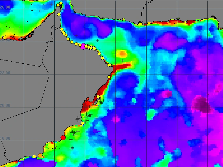
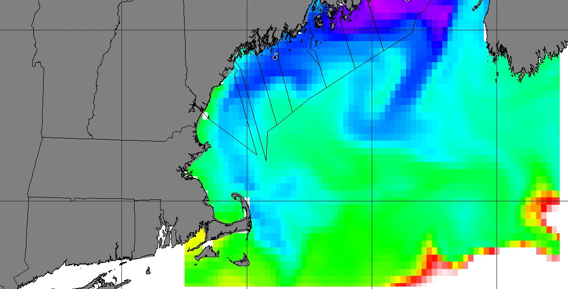
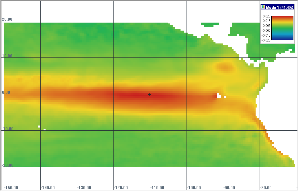
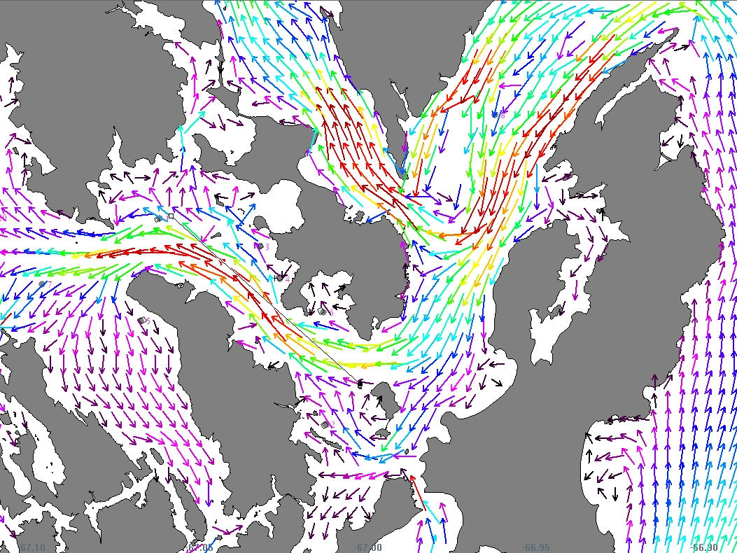
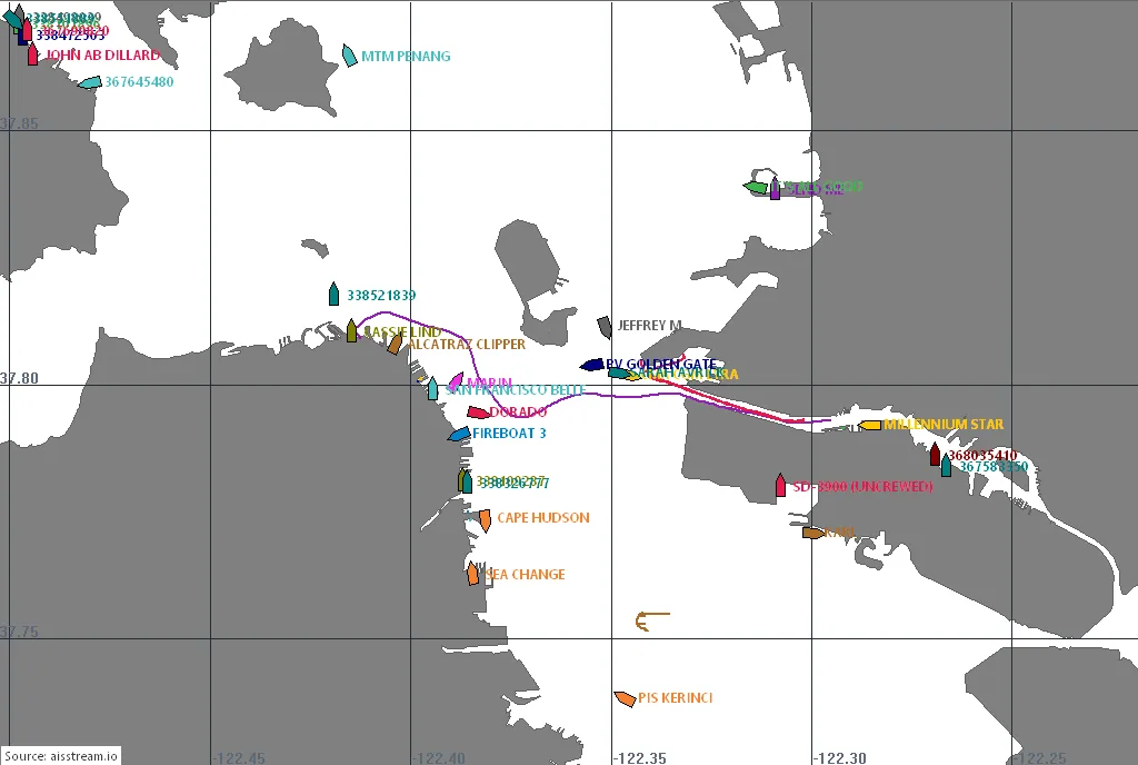
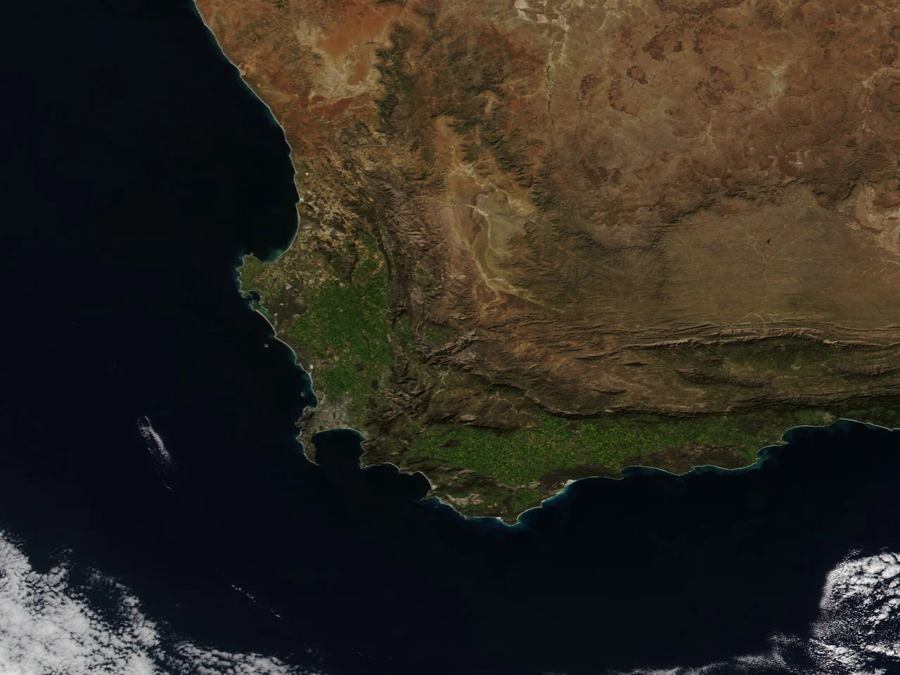
EASy is an advanced GIS with the capability to view, analyze and store diverse types of environmental data. Unlike other GIS software, EASy has been specifically designed to display data utilizing time, depth and geo-spatial information. This dynamic 4-D capability is vital for studying marine and terrestrial environments with their complex horizontal and vertical structures.
EASy2, the new version, reads satellite and ocean model imagery directly, downloads it from Copernicus Marine, NOAA and NASA, and runs on Windows 7 and later.

AquaModel Plug-in
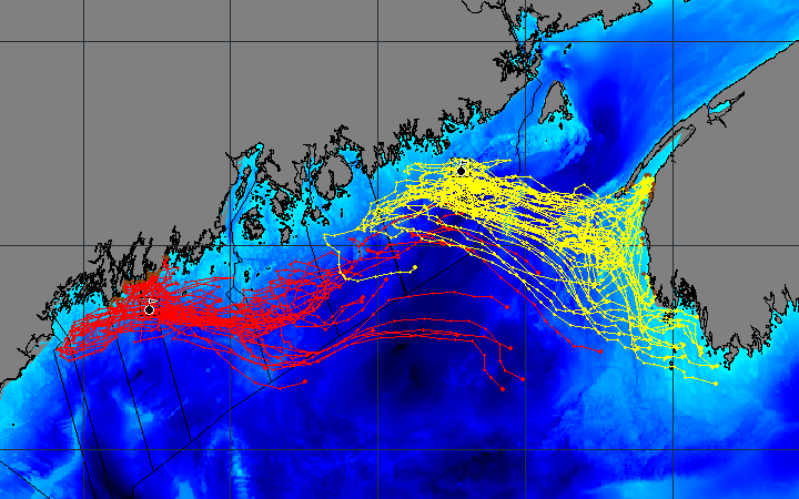
AquaModel: an advanced information system to assess the operations and impacts of fish farms in both water column and benthic environments, the first of its kind.
Learn more
See EASy in use
Nine simulations run in EASy, some with AquaModel and some with the Pelagic Habitat Analysis Module.
View presentation
PHAM / Spatial Analysis Plug-in
Pelagic Habitat Analysis Module: a set of spatial analysis tools integrated with satellite imagery, bathymetry, survey data, and circulation models to assist fishery managers, researchers, and scientists.
Learn more