| |
|
|
 |
|
 |
|
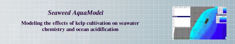
Demo of Seaweed AquaModel |
| The Paul G. Allen Family Foundation and the U.S. Navy funded the development of a model that simulates kelp growth and tracks the effects of kelp cultivation on ocean acidification. The model is part of a larger research project conducted by the Puget Sound Restoration Fund, NOAA, the
University of Washington and the Washington Department of Natural Resources. The Saccharina model developed for this project has been expanded to include Sargassum growth in tropical waters.
|
|
 |
|
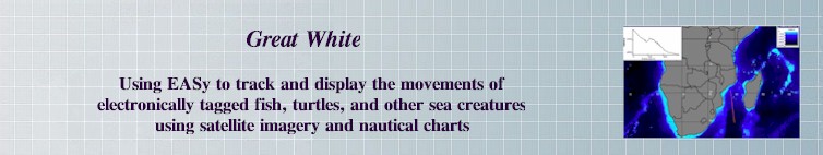
Demo of Great White Project
|
| In collaboration with the Pfleger Institute of Environmental Studies in Oceanside CA, we have developed an advanced tracking system for tagging marine fish. Data from archival and pop-up tags are automatically imported into Fishtracker and then analyzed to provide more accurate positioning of the tag during the time series. The Fishtracker algorithm improves the locations proposed by tag manufactures by matching measurements of the temperature at the sea surface from the tag with the coincident measurements from satellite imagery. The Fishtracker also provides a dynamic and integrated view of the environmental conditions in which the fish is found. Such tracking information is applied to protection and conservation of threatened marine animals.
|
|
 |
|
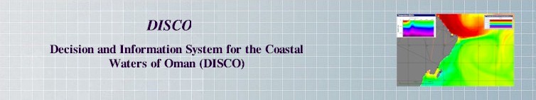
Demo of DISCO
Demo of DISCO Drifters |
We have partnered with NASA, Sultan Quaboos University, the Oman Ministry of Agriculture and Fisheries Wealth, and the Marine Sciences and Fisheries Centre of Muscat, Oman to develop a data fusion platform that provides decision makers and stakeholders in Oman with the tools necessary to manage coastal resources. This project uses drifters seeded at locations of coastal water treatment facilities and desalination plants to track wastewater outflow following modeled NCOM-CoSiNE ocean current fields.
|
|
 |
|
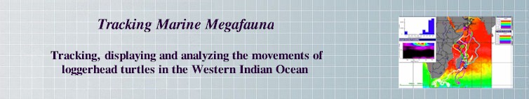
Demo of Tracking Marine Megaforma |
| This project uses the Drifter plug-in to incorporate and run analyses of the movements of loggerhead turtles. It allows for simple import/export of turtle data, visualization of individual turtle paths, and temporal-spatial matching of underlying environmental conditions.
|
| |
 |
|
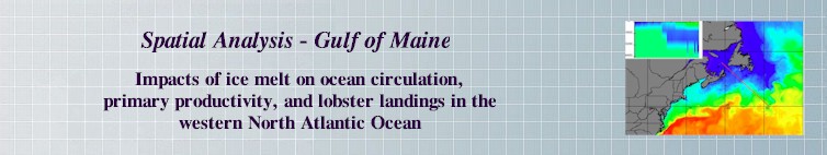
Demo Spatial Analysis Gulf of Maine |
| Demonstration of a proposed project to study connections between freshwater production due to summer-time ice melting and lobster landings in the western North Atlantic. This project offers a data fusion platform to connect, integrate and analyze the impacts of climate change on the United States and Canadian lobster fishery.
|
| |
 |
|
| Privacy Policy
Terms of Use © 2004-2021 System Science
Applications, Inc. All rights reserved. |
|